Unlock the Power of Geospatial Intelligence with ARU Cloud

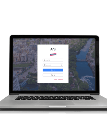
Cloud Software to collaborate, manage workflow, visualize - satellite and drone data such as maps, geotagged photos and videos smoothly. Suitable for 1 to 10 Users.

macro photography of black circuit board

Access real-time thermal temperature readings directly within ARU Cloud’s GIS platform

Thermal Imagery

Map Visualization

ARU Cloud offers a powerful interactive map feature, allowing users to view and manage geospatial data in both 2D and 3D formats.

Request a mission

The Request a Mission feature in ARU Cloud allows users to collaborate effortlessly by requesting specific geospatial data missions.

Features

ARU Cloud Pricing

Special Pricing for early adopters

RISE

USD 500 Per year Onwards

SCALE

USD 2000 Per Year Onwards

PERFORMANCE

USD 5000 Per Year Onwards

  • Up to 10 GB data storage

  • Compute resources

  • 1 user, 3 clients

  • Ideal for small teams or individuals

  • Up to 200 GB data storage

  • Enhanced Compute resources

  • 5 users, 10 clients

  • Suitable for growing teams

  • Up to 1 TB data storage

  • Premium Compute resources

  • 10 users, 30 clients

  • Perfect for large-scale operations

Trusted By

Ready to get started?

Get Trending News, Updates, Announcements and More

Company
Helpful Links
Join Us Online
Want to learn more?

Copyright © Kesowa Infinite Ventures Private Limited