
On-Demand Drone Intelligence: Make Better Decisions with Real-Time Aerial Data
Get high-resolution maps, videos, and analysis within days, not months – 20x clearer than satellite imagery
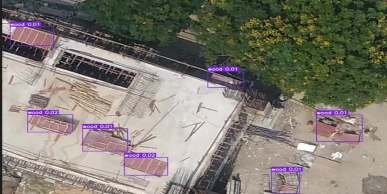
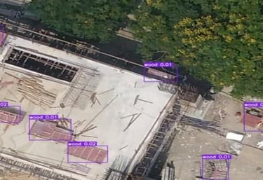
Powering smart decisions for Newtown Kolkata Development Authority since 2021

How It Works

Our team records your specific requirements and creates a mission plan


Missions are scheduled considering weather, airspace regulations, and priority

Certified pilots deploy the appropriate drone from our strategically located drone ports

Raw data is processed through our ARU platform with AI-powered analysis

View, share and collaborate on high-resolution maps, measurements, and insights
Key Benefits
Superior Resolution
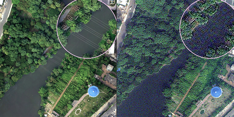
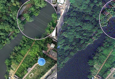
See details at 2.5cm resolution – 20x clearer than the best available satellite imagery
Real-Time Intelligence
Get critical data in days instead of waiting months for traditional surveys
Cost-Effective Solution
Reduce field visits and survey costs while getting more accurate, actionable data
AI-Powered Analysis
Automatically detect trees, construction materials, construction debris, sand heap, and more

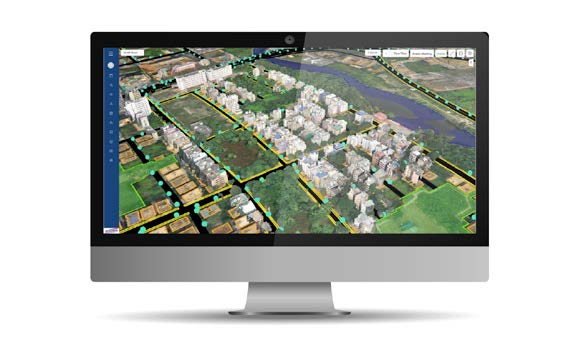
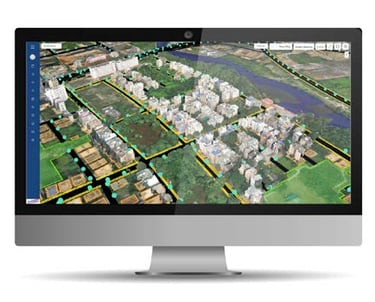
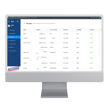
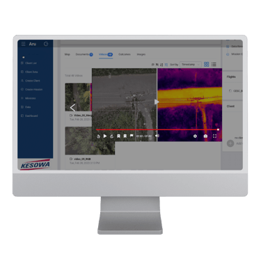
ARU: Your Command Center for Aerial Intelligence
Our comprehensive web platform lets you view, analyze, and share drone data across your organization
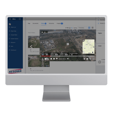
2D & 3D Map Visualization & Measurement
Document & Media Management
Video Analysis with Telemetry
AI-Powered Insights
Collaboration Tools
Client Success Stories
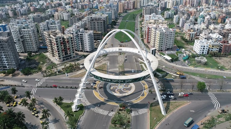
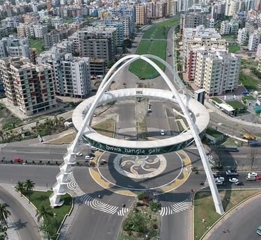
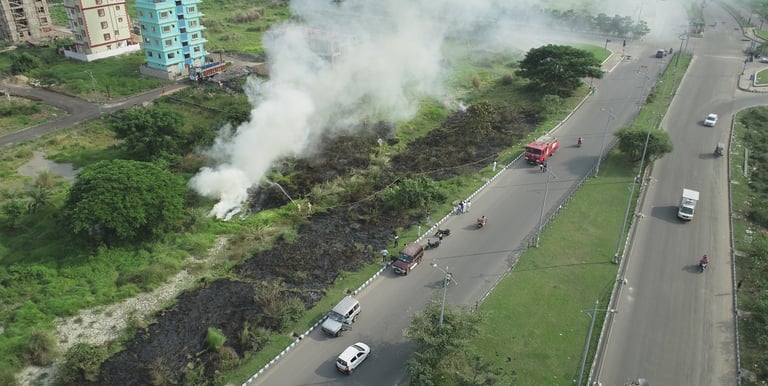
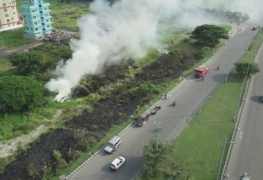
NKDA Success Story: Transforming Urban Management with Drone Intelligence
In just 3 years, our Drone Call Center revolutionized how Newtown Kolkata Development Authority manages its 56 sq km jurisdiction:
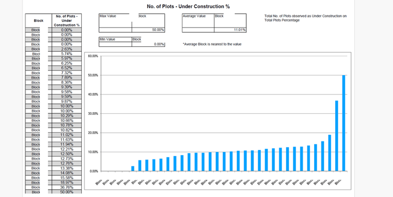
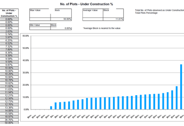
2,442 missions completed, including 1,233 high-resolution mapping projects
100% compliance with 1-hour emergency response time across 120 critical missions
₹2000+ Crore worth of development projects effectively monitored
99.8% operational reliability with minimal incidents
85% reduction in survey turnaround time compared to traditional methods
From reactive troubleshooting to proactive policy implementation, our drone intelligence platform evolved into an essential component of NKDA's governance framework.
Our Drone Fleet


Type 1 Drone
Photography & High-resolution mapping drones
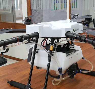
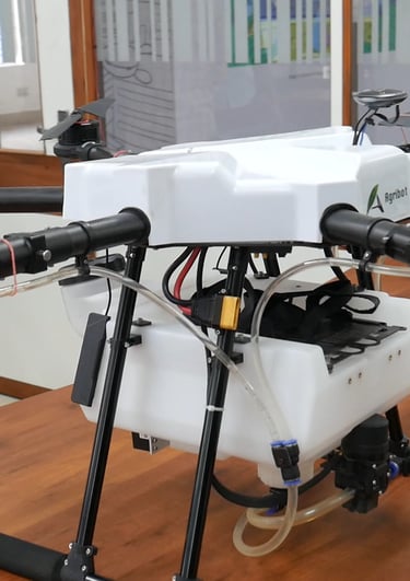
Type 2 Drone
Specialized spray drones


Type 3 Drone
Surveillance drones with zoom and thermal capabilities
Type 4 Drone
BVLOS drones for extended operations
Kesowa is actively seeking Drone Hardware Partners for more Use Cases. Images provided above are indicative.
Ready to Transform Your Decision-Making Process?
Schedule a consultation to discuss your specific needs


Helpful Links
Join Us Online
Want to learn more?
Copyright © Kesowa Infinite Ventures Private Limited
Subscribe to our newsletter for the latest features and updates.
By subscribing, you consent to our Privacy Policy and receive updates.