
Bridging the Gap: How Drone Mapping Streamlines City Development
USE-CASE
Shwejal & Vidushi, Kesowa Summer Research Interns 2024
6/26/20242 min read
Rapid urbanization presents a challenge for city planners. Keeping track of changes and ensuring infrastructure keeps pace with growth requires accurate, up-to-date data. Traditional data collection methods are often slow, expensive, and disruptive.
At Kesowa, we leverage cutting-edge drone technology and data mapping expertise to empower informed decision-making in urban development. This blog post delves into a project we recently completed for the Newtown Kolkata Development Authority (NKDA).
Understanding Newtown Kolkata's Growth: The NKDA's Challenge
The NKDA is entrusted with planning and developing Newtown Kolkata, a flourishing township in India. To strategize for the city's future, the NKDA required comprehensive data on Newtown Kolkata's ongoing developments.
Conventional methods would necessitate deploying surveyors to navigate the city on foot or by vehicle, gathering measurements and photographs. This approach is time-consuming, labor-intensive, and can disrupt traffic flow.
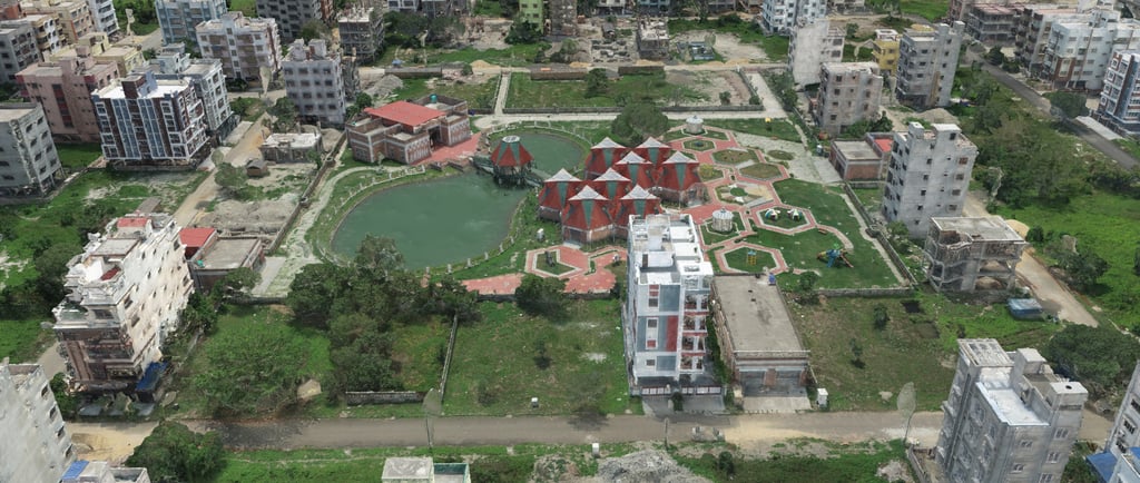
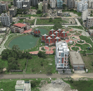
A Soaring Solution: Efficient Data Acquisition with Drones
Kesowa employed a drone to capture high-resolution images and videos of Newtown Kolkata. These visuals were then processed to create a detailed 3D model of the city.
This 3D model provided the NKDA with a treasure trove of information about Newtown Kolkata, encompassing the location and layout of buildings, road networks, and other significant features. The NKDA can leverage this data to monitor the city's growth, pinpoint areas ripe for development, and plan strategically for the future.
Building a Sustainable Future: The Advantages of Drone Mapping
The drone-based mapping mission offered the NKDA a swift, safe, and cost-effective solution to gather data on Newtown Kolkata. The 3D model generated by Kesowa empowers the NKDA to make well-informed decisions regarding the city's development. This translates to a more livable and sustainable Newtown Kolkata for its residents.
The Future of City Planning is Here: Embrace the Skies
Drone mapping has revolutionized data collection in urban development. By harnessing drones, city planners can gather information quicker, more efficiently, and at a lower cost. This valuable data paves the way for better decision-making, shaping the future of our cities for the better..
About our Client
NKDA stands for New Town Kolkata Development Authority. It is responsible for planning and developing infrastructure in New Town, Kolkata.


Helpful Links
Join Us Online
Want to learn more?
Copyright © Kesowa Infinite Ventures Private Limited
Subscribe to our newsletter for the latest features and updates.
By subscribing, you consent to our Privacy Policy and receive updates.